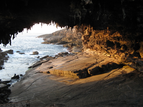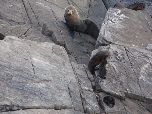
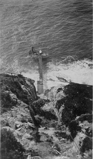
ADMIRAL'S ARCH
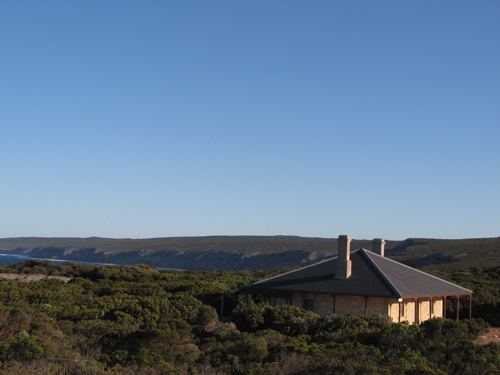
As you can see on the map, the lighthouse/cottages are right near
Admiral's Arch. Admiral's Arch is a dramatic tunnel through the
end of the cape, with stalactites on the "ceiling", and is home to
a
colony of about 7,000 fur seals. The boardwalks and viewing
platforms gave us ample opportunity to watch these guys swim, surf,
play and sleep. There were many pups (how cute are they!?).
Apparently there is about a one-year gestation period and then
the females often get pregnant within days of their pups being born.
Oy! One
of the nights had VERY rough seas and it was fascinating to watch how
well the seals could handle the surf - and what fun they had surfing in
the pools
made up on the rocks high above the waterline. At a nearby lookout
Elyse finally got to see some dolphins, as we saw a pod of about 7
dolphins swimming and jumping, and finally surfing in a wave towards
the shore. An amazing sight! And then on the ferry ride home, we saw
another two playing in the wake of the ferry.
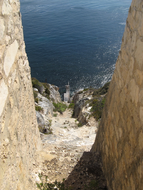
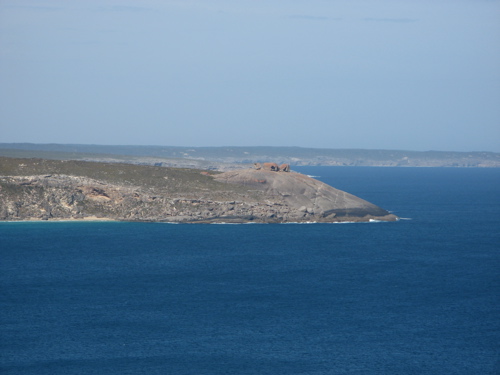
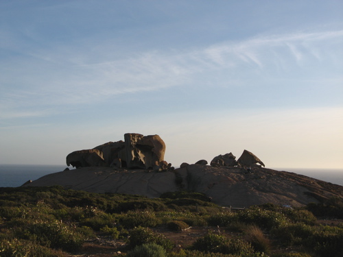
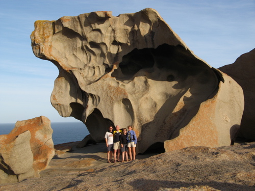
REMARKABLE ROCKS
The other highlight right near us was Remarkable Rocks. They got
it right when they gave them that name! As you can see from the
picture on the left, the rocks are located on the top of a high, barren
cliff (looking across from Weirs Cove). They look as though they
have been transported by aliens and dropped on the end of this smooth
promontory. In fact, they are a testament to the
power of erosion. The shapes and colors, especially in the
evening light, are truly breathtaking. Hopefully the picture of
the four of us in front of one of the rocks gives you a sense of scale
for their size. It is a photographer's (and kid's) paradise.
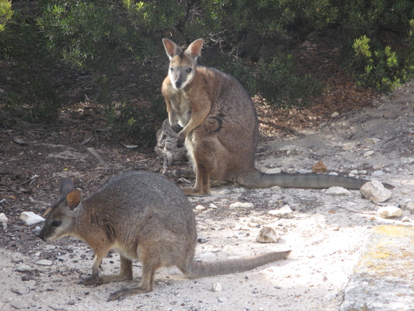
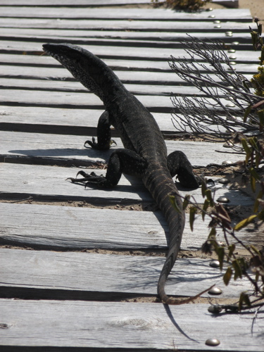
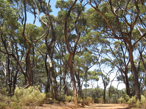
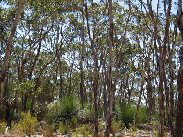
HIKING
In addition to our walks to Admiral's
Arch and Remarkable Rocks (and to the lighthouse/Weirs Cove), we took
some beautiful, longer walks - through spectacular eucalypt forests (like the
one pictured below), along coastal cliffs, in a platypus haven
(although we weren't lucky enough to spot any of these shy, strange
creatures), and one "killer" hike past Snake Lagoon.
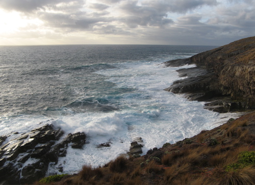
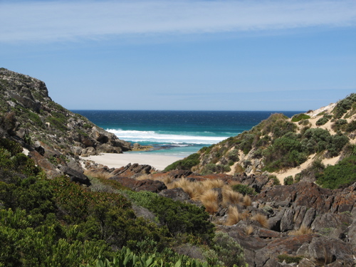
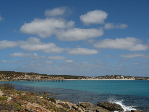
SNAKE LAGOON HIKE
This hike was longer and more strenuous than the trail guide had led us
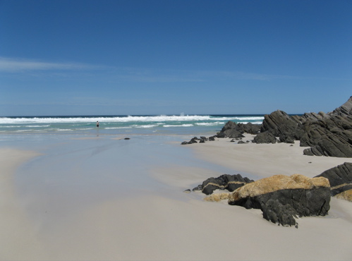
to believe, and the sun was very strong that day. The views were beautiful - especially
when we caught sight of the ocean (see below). We even saw a feral
goat and her baby walking across the beach! Gerald was hot and brave
(?) enough to take a dip (he's that half-purple "dot" in the picture on
the right). If you look carefully at the sand in that picture,
you can see how far up the beach the waves would come. Apparently the
waves were coming from three directions and were creating riptides and
freak waves galore! Gerald was working hard to stay upright. Elyse
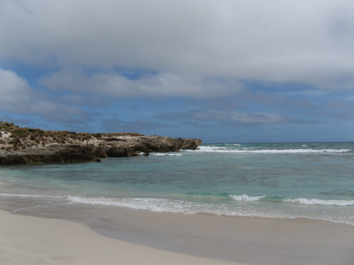
went to take a picture from the "dry" rocks on the right and seconds
later found herself in water up to her shorts! It was a not-so-subtle
reminder of the power of water/nature, but it was spectacular to see.
It was a glorious hike, but hard work and we were all VERY grateful for the thermos of tea waiting for us in the
car! And the Ginger Nuts, of course....
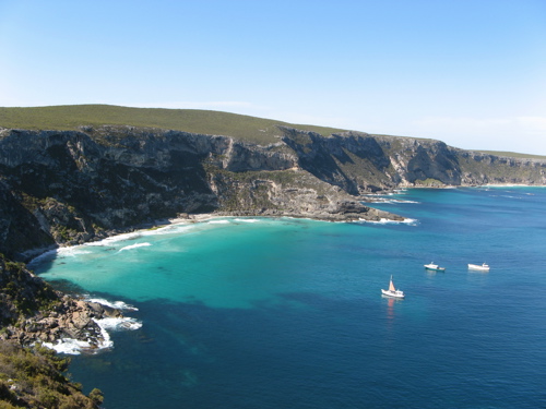
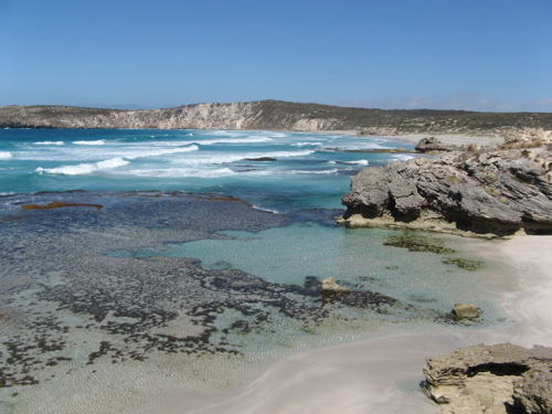
BEACHES
One of the most spectacular features of
Kangaroo Island is its beaches. Each seems more beautiful than
the last and looks like a postcard. The first beach we stopped at
is at Pennington Bay (on the northern side of the isthmus above
d'Estrees Bay). There were some (crazy) people surfing that day
despite the fact that there are sheets of rock along the shoreline.
According to the guide book information, this is the beginners' surfing
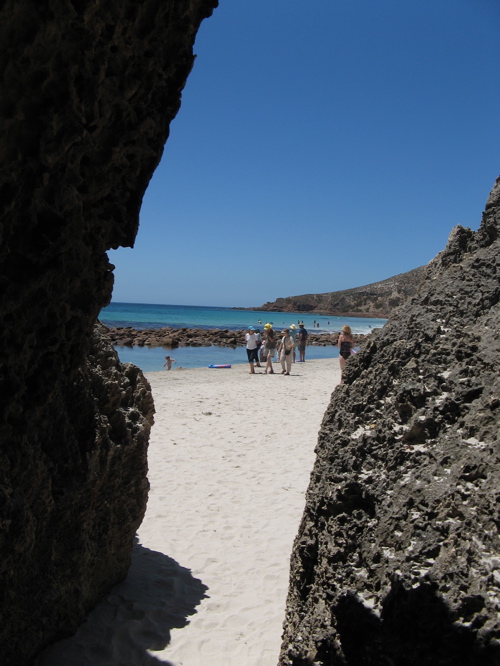
beach!? Stokes Bay (below, middle) is accessed through a maze of rocks
and includes a kids' pool created from a breakwater. On the
southern side, we took a dip in Hanson's Bay (below, right -
located at the end of the yellow line on the map west of Kelly Hill
Caves): the water was pretty cold (it's the Southern Ocean - next
landmass is Antarctica!), but
refreshing and fun to play in. We stopped at Vivonne Bay
(bottom, left), which was voted the best beach in Australia for 2006
(not sure of the criteria; it WAS beautiful, but how could one
choose??) and then took a quick look at Bales Beach (bottom, middle)
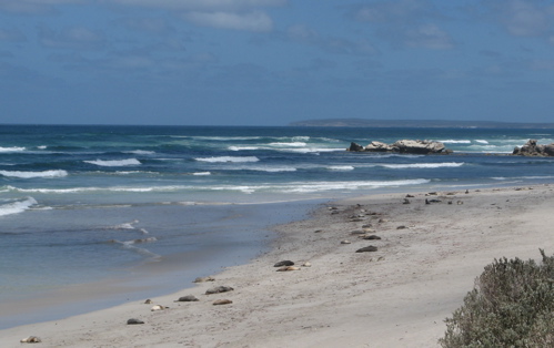
just on the other side of Seal Bay (bottom, right). Seal Bay is
home to a colony of Australian Sea Lions (those blobs on the sand are
sea lions resting after a hard day's fishing expedition).

The entire week was wonderful. It
was super to have that kind of time (and adventures!) with Ruth and
Graham and fantastic to see such spectacular sights. Kangaroo
Island used to be the butt of jokes among South Australians who thought
it boring, but now it is being discovered for the treasure that it is.
We're hoping that it will keep its "wild" flavor ... although we
don't miss the drives on the gravel roads!